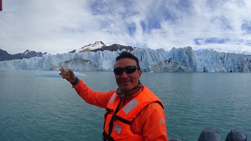
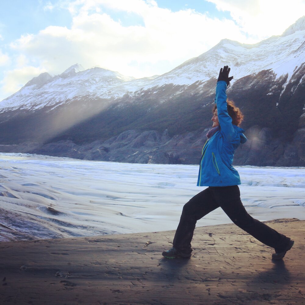
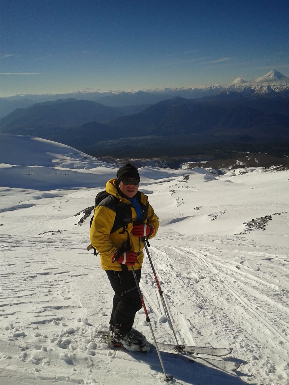
16 Incredible National Parks to Visit in Chile - A Local’s Guide
Chile is a long and narrow country, a land of contrasts and full of surprises. With over 21% of its territory under protection, there are lots of national parks and reserves conserving unique habitats and species that you can see and enjoy while practicing fun activities.
Northern Chile has one of the most impressive landscapes in the country! Here, you’ll find the driest desert on the planet alongside volcanoes, geysers, salt flats, enormous expanses of dunes, the highest peaks of the Andes Mountain Range, fertile valleys, wetlands, solitary beaches, and a great diversity of wildlife.
Besides concentrating the main urban, productive, and agricultural centers of the country, central Chile is known for its great abundance and variety of wine regions. Although sparse, there are some outstanding protected areas that provide a much-needed break from hectic city life.
Chile’s south is where most national parks and reserves are located, conserving many places that are still unaltered by humans. Here, the landscape changes and gives way to dozens of lakes, rivers, snow-capped volcanoes, and forests, until reaching the glaciers and fjords in Patagonia.
The list below is a great starting point for you to plan what national parks and reserves to visit from north to south during your next trip to Chile. They’re all beautiful and a great way to showcase your travels on social media!
Table of Contents
Plan your itinerary with local help
If you could use some help coming up with a great plan for your trip, schedule a Chile travel consultation with Carola, our Chile-based Local Expert!
These are one-hour Zoom calls where you’ll get to chat with Carola about the trip you’re planning and she’ll share her tips and advice, answer your travel questions, and help you perfect your itinerary.
1. Lauca National Park
Location: Northern Chile, approximately 111 mi east of Arica, in the high-Andean plateaux of the Arica and Parinacota Region.
Photo: Claire Provost, CC BY-SA 3.0, via Wikimedia Commons
Have you seen photos of Lake Chungará reflecting the perfect shape of the Parinacota Volcano in the high Andes? That’s the traditional postcard image of Lauca National Park! This iconic lake - located at an altitude of almost 15,000 ft - is one of the highest in the world.
Because of the altitude, Lauca National Park is not an adventure sports destination, but it is a great place to see wildlife that can only be found in the High-Andean plateaux - locally known as puna or altiplano. Get your camera ready to catch vicuñas, guanacos, suris (a flightless bird similar to an ostrich), vizcachas (which are like large squirrels), and over 100 aquatic bird species.
Other instagram-worthy landmarks include the spectacular twin or payachatas (in native Aymara language) Parinacota and Pomerape volcanoes and the peaceful Cotacotani lagoons. Here, you’ll find the only trail with vehicle access. Its 8-mi route has 8 lookouts to different areas of this wetland ecosystem.
This area is also known for its native peoples, mainly of Quechua and Aymara origin, who move around the triple frontier of Peru, Bolivia, and Chile. They are famous for their colorful dresses and dances, which they bring to life especially during the carnival season in February.
If you visit the town of Putre, just outside the park, you’ll get to experience their culture and taste some great dishes made with Andean ingredients such as the Quinoa, a staple superfood.
2. Los Flamencos National Reserve
Location: Northern Chile, Chaxa Lagoon is approximately 37 mi south of San Pedro de Atacama, in the high-Andean plateaux of the Antofagasta Region.
Are you amazed by the number of birds living in the Atacama Salt Flat, in the middle of the world’s driest desert? Then you can’t miss a visit to Los Flamencos National Reserve!
In fact, did you know that most of the iconic attractions around the quaint town of San Pedro de Atacama are within one of the seven disconnected sectors that make up this protected area?
These sectors are run by Chile’s national parks authority (the National Forestry Corporation – CONAF by its acronym in Spanish) in co-management with the corresponding local Lickan Antay community (Caspana, Coyo, Socaire, Toconao, or Toconce), which oversees their on-site administration, entry ticket sales, and tour logistics.
Four of the sectors are currently closed to the public for conservation purposes. The three sectors you can visit are: 1) Atacama Salt Flat; 2) Pukara Quitor and Aldea Tulor; and 3) Salt Mountain Range; Death Valley; Moon Valley.
Laguna Chaxa (Chaxa Lagoon) is definitely the star of the Atacama Salt Flat Sector, and its the most popular excursion in the area. Here, you can see bands of flamingos and other bird species eating from a brine lagoon. There’s also a visitor center and a trail, both with bilingual environmental education signs.
The Pukara Quitor and Aldea Tulor Sector will make you feel like Indiana Jones or Tomb Raider! These ruins will take you back to visit a Lickan Antay fort dating from the 12th century and a village with vestiges of this culture’s struggle to avoid Tiwanaku and Inca domination.
Everybody will tell you that you can’t miss the chance of watching the sunset at the Moon Valley, and they’re right! The Salt Mountain Range-Death Valley-Moon Valley Sector provides fantastic views of unusual desert formations that simply seem out of this world. You can explore these landscapes on horseback, bike, or on foot. No trip to San Pedro would be complete without a visit to this area.
3. Llanos de Challe National Park
Location: Northern Chile, approximately 25 mi north of Huasco, on the coast of the Atacama Region.
The “Flowering Desert” in Llanos de Challe. Photo: Chang Hyon Lee, CC BY-SA 4.0, via Wikimedia Commons
Each year, between September and October, this national park treats us to one of nature’s most stunning miracles: The Flowering Desert. As spring arrives in the southern hemisphere, this otherwise barren landscape also comes alive! This is when over 200 species of native flowers bloom as a result of the camanchaca, a gentle fog that rolls in from the sea. It’s truly a breathtaking experience!
Covering both desert and beach environments in northern Chile, including sand dunes, coastal cliffs, and hilly scrublands, Llanos de Challe National Park is also home to the second largest population of guanacos in the country, right after the one in Torres del Paine. Because they’re usually in the high Andes, finding these animals in this coastal habitat is very rare.
You can bask in the sun on the white sands of Playa Blanca and hike a 1.5-mi loop trail with four environmental education signs that starts at Los Pozos Sector Ranger Station and will take you through different ecosystems and unique plant combinations.
If you want to stay here, there’s a camping area that is kept separate from the public beach, providing you with peace and quiet while enjoying the park’s serene vibes. Don’t forget to taste the local seafood!
4. La Campana National Park
Location: Central Chile, approximately 37 mi east of Viña del Mar, on the Coastal Mountain Range of the Valparaíso Region.
The Palmas de Ocoa area of La Campana National Park. Photo: Mar del Sur, CC BY-SA 3.0, via Wikimedia Commons
Imagine Charles Darwin’s surprise when he reached the top of La Campana hill in 1834 and found that he could see as far as the Pacific Ocean and the Andes Mountain Range. It’s still no small feat!
And this is one of the reasons why this national park - just one hour away from Viña del Mar, on central Chile’s Coastal Mountain Range, is so unique and important. The climb to the summit takes about four hours but is definitely worth it.
The park is divided into three sectors, each of them with its own access and trails with different difficulty for you to trek and explore this amazing protected area full of greenery in the middle of the semi-desert landscape.
When you visit, you’ll also find that, in the Palmas de Ocoa Sector, it conserves one of the few remaining populations of Chilean palms, which have adapted to withstand most wildfires and are more than 50 years old.
After enjoying walking through the forests, don’t forget to have some well-deserved food at the nearby town of Olmué. You should at least try the traditional empanada de pino (meet filled turn-over)! This will also give you the chance to experience part of the huaso (Chilean cowboy) culture that is typical of this area of the country.


5. Rapa Nui National Park
Location: Eastern Polynesia, approximately 2,330 miles west of Central Chile. It's the farthest territory from continental Chile, and its administration falls under the Valparaíso Region
If you’re thrilled by ancient mysteries, then Rapa Nui National Park will blow your mind. Covering most of Easter Island - also known as the navel of the world – in the middle of the Pacific Ocean, this protected area conserves the enigmatic moai stone statues that have baffled archaeologists and historians for centuries.
The island, despite being 2,300 miles from the Chilean coast, is considered part of the Valparaíso Region, and it was annexed to the country’s island territories in 1895. Traveling here became much easier following 1965, when the Mataveri International Airport was built.
Rapa Nui National Park is co-managed by Chile’s national parks authority (CONAF) and the local Ma'u Henua indigenous community. Besides the moais, it protects other significant cultural sites like Rano Kau Volcano and the lagoon in its crater; Rano Raraku quarry, known as the main moai carving center; and the O’rongo ceremonial village, where the bird man competition (featured in Kevin Costner’s 1994 movie) used to take place until the late 1800s.
If you like cultural traditions and come here in February, don’t miss the chance to take part in the Tapati Rapa Nui. This colorful festival showcases the best of the Easter Island’s sports and art competitions.
You can explore the park by hiking its trails, riding a bike, or on horseback. You’ll also have plenty of opportunities to take diving lessons and go fishing with locals, usually ending with an Umu, a traditional pit barbecue cooked on the beach and mixing different kinds of meat and served with poe, which is like a cake made with native taro, a tuber similar to a potato. Truly delicious!
6. Altos de Lircay National Reserve
Location: Central Chile, approximately 41 mi east of Talca, on the foothills of the Andes in the Maule Region.
Photo: Natalia Reyes Escobar, CC BY-SA 4.0, via Wikimedia Commons
Nestled among centuries-old forests and imposing volcanos, Altos de Lircay National Reserve is one of my favorite trekking destinations in Chile, and if you make it here, I’m pretty sure you’ll agree!
Two of the best hikes are, no doubt, the Laguna del Alto and El Enladrillado. The 6.2-mi trail to Laguna del Alto typically takes around 8 hours to complete round trip, immersed in native oak and beech forests along the way. Once you reach the small lake that gives the trail its name, after a steep climb and descent, you will enjoy amazing views of the surrounding snow-capped mountains.
The El Enladrillado trail is roughly 8 mi long and takes nearly 11 hours to complete round trip. Ascending through the forest, it will take you to a triangular-shaped plain at the top of a hill. Many believe that this site is a UFO landing strip and have even organized expeditions to explore this possibility.
With several other trails to hike, this is definitely a protected area not to be missed in central Chile.
It’s also worth staying the night at the nearby town of Vilches and trying some traditional Chilean foods. One notable tip: here, you’ll find a family that still prepares ice cream the old-fashioned way, using snow from the mountain. It’s a unique experience for sure!

7. Conguillío National Park
Location: Southern Chile, approximately 92 mi northeast of Temuco, on the foothills of the Andes in the Araucanía Region.
In the northern section of Chile’s Lake District, Conguillío National Park will blow your mind! It protects some of the last forests of the native and endangered monkey-puzzle tree. This iconic species is called araucaria in Spanish and pehuén in Mapudungun, the tongue of the native Mapuche peoples whose descendants still inhabit these lands, keeping their traditions and cuisine alive.
Conguillío National Park has plenty of accommodation alternatives, including campsites, cabins, and lodges, for you to choose from if you want to visit for more than a day trip. With 12 trails to explore, this is also a great trekking destination and a fantastic place to check off species from your birdwatching list.
Los Carpinteros trail is particularly famous for providing good opportunities to see woodpeckers and some birds that are only found in Chile, such as the Chilean mockingbird, the slender-billed parakeet, and the Chilean tinamou
If you’re into adventure sports, then you shouldn’t miss the chance to go rafting down 10 class III rapids in the Truful Truful and Allipen rivers.
And if winter activities are your passion, try skiing the slopes of the imposing Llaima volcano, which dominates the park’s landscape and is among the most active in South America. Over the centuries, its lava flows have flooded valleys and created small lakes from which you can see the trees sticking out, like Laguna Arcoíris and Laguna Verde. It’s an otherworldly sight!
8. Villarrica National Park
Location: Southern Chile, approximately 5 mi southwest of Pucón and 10.5 mi southeast of Villarrica, on the foothills of the Andes in the Araucanía Region.
This is another one of my favorite parks! Located right next to the town of Pucón, which has been dubbed the capital of adventure tourism in Chile, Villarrica National Park is among the country’s most popular destinations, both in summer and winter.
Here you’ll find beech and araucaria forests, several small lakes, a network of lava caves, great trails, and three volcanos: Lanín (12,388 ft), Villarrica (9,340 ft), and Quetrupillán (7,742 ft). Of the park’s seven trails, the most famous is Villarrica Traverse, which can take between 3 to 5 days to complete and goes around the three volcanos and guides you through most of the protected area. But there are also some smaller and easier treks if you’re short on time.
If you’re in good physical condition, you should definitely attempt climbing to the summit of Villarrica Volcano, where you’ll get to see its lava in action! And then, don’t miss the chance of sleighing down its slopes to make up for the hard exercise on the way up.
This is also a great place to ski. There’s a mountain center with seven ski tracks at varying difficulty levels, as well as snow tubing and sledding areas.
After these strenuous activities, you can enjoy a well-deserved day of relaxation at one of the many hot springs within and around the park. Don’t miss this fantastic opportunity to reenergize your body and soul!
9. Huerquehue National Park
Location: Southern Chile, approximately 21 mi northeast of Pucón, in the Los Ríos Region.
Laguna Toro in Huerquehue. Photo: AcrossTheMountains, CC BY-SA 4.0, via Wikimedia Commons
Located a bit farther away from Pucón but still close (20 mi), Huerquehue National Park is another natural gem protecting ancient araucaria forests. But its most outstanding feature is its scenic beauty! Its numerous hills and steep ravines have formed over 20 small lakes that are fed by springs, rivers, and estuaries that roll down from the high peaks. It’s truly an amazing sight!
This is also a great place to hike, with five trails of different difficulty. The most popular one by far is Los Lagos trail, which includes two circuit options that you can trek, both of medium difficulty.
The short option (8 mi round trip) goes along the Chico, Verde, and Toro lakes, while the long one (10 mi round trip), in addition to those three, includes the Los Patos and Huerquehue lakes. A great opportunity to capture some amazing videos and pictures.
If you want to camp in the park, you can do so at the sites available on the shores of Lake Tinquilco, close to its entrance. Here, you’ll also find an Environmental Information Center and service areas, as well as some tour operators offering horseback riding, paragliding, and fly-fishing excursions, along with kayak and boat rentals. No matter what you choose to do, you’ll find visiting this park really invigorating.
10. Alerce Costero National Park
Location: Southern Chile, approximately 28 mi northwest of La Unión, in the Los Ríos Region.
While the Greeks were busy founding the city of Athens and the first civilizations were coming to life in the Americas, the Grandfather Tree was already several years old. Also called the Millenary Patagonian cypress, this tree has been alive for more than 3,500 years and you can see it at Alerce Costero Park, in the Coastal Mountain Range of Chile’s Lake District.
The Grandfather Tree has a 165-inch diameter and grows less than 39 microinches per year. This is the second longest-living tree species in the world, right after the Bristlecone pines found in California and Nevada.
There are four entrances to the park and the closest to the Grandfather Tree is the one next to the city of La Unión. Here, you’ll find a medium-difficulty trail leading you to this humbling landmark, an ideal location for some mindfulness and meditation.
The park’s other 11 trails also provide you with great opportunities to trek among these ancient forests, looking out for outstanding wildlife. If you’re really quiet and lucky, you may even get to see some endemic species that can only be found here, like the Valdivia Spiny-chest Frog or Darwin’s Fox.
11. Puyehue National Park
Location: Southern Chile, approximately 58 mi east of Osorno, in the Los Lagos Region.
Lago Constancia in Puyehue. Photo: Natalia Reyes Escobar, CC BY-SA 4.0, via Wikimedia Commons
On the border with Argentina, Puyehue National Park is a prime destination for both action sports and relaxation, and one of the most beautiful places where you can cross the Andes Mountain Range. It encompasses over 20 different-sized lakes, lush evergreen rainforests, glacial valleys, and two volcanos: Casablanca (6,528 ft) and Puyehue (7,335 ft).
The park is divided into three sectors, each with its own main attraction, and all of them providing lodging options for different budgets. Together, they also have 14 interpretive and universally accessible trails that lead to stunning waterfalls and lookouts.
In the Aguas Calientes Sector, there’s a hot spring resort called Termas de Aguas Calientes. The second sector, Anticura, is the one closest to the Puyehue Volcano that gives the park its name. The third sector, Antillanca, is where the ski center is located on the slopes of the Casablanca volcano. It has activities during the summer and winter, so you can come enjoy the mountain any time!
12. Vicente Pérez Rosales National Park
Location: Southern Chile, approximately 37 mi northeast of Puerto Varas, in the Los Lagos Region.
Volcan Osorno and the Petrohue Falls. Photo: I, Rlohaus, CC BY-SA 2.5, via Wikimedia Commons
Combining a beautiful mix of ancient forests with rivers, lakes, and volcanos, this is Chile’s oldest national park and a key section of the popular Lake Crossing route to Argentina. It’s located 39.7 mi northeast of the city of Puerto Varas and 10 mi away from the town of La Ensenada. Both places provide a broad array of accommodation options for all budgets and a wide range of tour operators offering different excursions and activities in the park.
Whether you prefer some quiet hiking and nature contemplation, or seek the thrill of adventure tourism, Vicente Pérez Rosales National Park has something for everyone! There are 17 trails, nine of which take less than one hour to complete, that allow you to enjoy the ancient Valdivian Temperate Rainforest.
You can also go rafting down the class III Petrohué rapids while admiring amazing views of the Osorno (8,700 ft), Calbuco (6,610 ft), and Puntiagudo (8,180 ft) volcanos. Or you may attempt climbing to the top of Osorno Volcano and skiing down its slopes during the winter. It’s a thrilling experience!
This park is also the first of the two-part famous Lake Crossing, which connects Chile and Argentina through their Lakes Districts. If you board the ferry, you’ll sail the tranquil waters of Lake Todos Los Santos until you get to the other side, where you’ll find a small locality called Peulla.
From there, the journey takes you down the road that crosses the Andes mountains and connects to Lake Nahuel Huapi, the second half of the crossing, to finally arrive in the city of Bariloche in Argentina.
13. Chiloé National Park
Location: Southern Chile, approximately 202 mi southwest of Puerto Montt or 33 mi northwest of Castro, in the Los Lagos Region.
Photo: littletroll, CC BY-SA 3.0, via Wikimedia Commons. Cropped from original
Located on Chiloé Island, in the southern end of Chile’s Lake District, this national park combines stunning landscapes among forests, coastal lagoons, beaches, dunes, and rocky cliffs. It’s such a wild mixture!
There are three entrances to this protected area, but the main one is the town of Cucao, on the northern shore of this island. Here, you’ll find the park administration office, a small visitor center, and several trails, as well as picnic and camping areas run by the indigenous Huilliche communities, part of the Mapuche native peoples found in southern Chile.
You can explore the dunes through a trail or on horseback, while observing native vegetation and enjoy a small picnic along the way. Another great option, for the more adventurous, is to combine horseback riding with kayaking in the San Pedro River.
If trekking is your preferred activity, then you should definitely undertake the popular Chanquín-Cole Cole Trail! This is one of the longer ones in Chiloé National Park, and it runs for roughly 12.4 mi from the entrance in Cucao to Cole Cole, where there’s a large beach surrounded by dunes. The hike takes about seven hours to complete round trip.
14. Futaleufú National Reserve
Location: Southern Chile, approximately 250 mi southeast of Puerto Montt, in the northern Chilean Patagonia of the Los Lagos Region.
Futaleufú River is considered the best river for whitewater rafting in Chile, and this national reserve sits right next to it! Located in the northern end of Chilean Patagonia, here you’ll be able to experience some thrilling class III, IV, and V rapids.
And if that’s not enough excitement, there are two other rivers where you can practice this sport: Azul and Espolón. For a quieter aquatic experience, you can also enjoy boat rides, fly fishing, or just swimming in the Espolón, Lonconao, and Espejo lakes.
The reserve protects lush oak and beech forests that are an important habitat for the endangered Chilean huemul deer. In addition to water sports, you can explore the scenery on horseback or through any of its two trails that lead to three lookouts with amazing views of the valley, stunning waterfalls, and imposing glaciers.
If you wish to put yourself to the test with a more challenging activity, then you can undertake the Ruta del Águila (Eagle’s Route) or Montaña Los Cóndores treks, which are more demanding and lead to great vantage points in the Andes mountains.
At a distance of just about 4 miles away from the reserve, the town of Futaleufú, or ‘Futa’ as the locals call it, is where you’ll find most accommodation and food options.
The area really comes alive in February, with all sorts of traditional festivities and competitions taking place to celebrate the areas’ heritage. You have to try some of the local foods!
Connect with a Chile travel expert for help perfecting your itinerary, answers to all your travel questions, and fabulous local tips for a better visit!
15. Queulat National Park
Location: Southern Chile, approximately 14 mi southeast of Puyuhuapi or 280 mi southeast of Puerto Montt, in the northern Chilean Patagonia of the Aysén del General Carlos Ibáñez del Campo Region.
The fjords, valleys, lakes, and glaciers of Queulat National Park are truly mesmerizing! Located in Chile’s northern Patagonia, it’s crossed by the famous Carretera Austral (Southern Highway); a road leading to some of the most pristine places in this region.
Many people travel from all over the world to witness this park’s Ventisquero Colgante (Hanging Glacier), and with good reason! Following a 2.2-mi trail starting at the administration office, you will then reach a lookout with one of the most stunning views you’ll ever see. Trapped among the mountains, the ‘hanging glacier’ sits on the edge of a tall cliff and slowly melts into a waterfall dropping over 1,300 ft.
If you can, it’s worth the wait to see some of the ice fall into the water below and listening to the sounds made by the melting ice and water. These are so impressive that they actually gave the park its name. According to historians, ‘Queulat’ means ‘sounds of waterfalls’ in the native tongue of the Chonos, a nomad native peoples that used to inhabit these lands until roughly the 18th century.
There are four other trails you can explore in the park, and you can also hire boat rides to the glacier and take advantage of the camping services in case you want to stay here.
Or you could also spend the night at any of three nearby towns: La Junta, Puerto Puyuhuapi, and Puerto Cisnes. Either way, visiting Queulat is an unforgettable experience!
16. Torres del Paine National Park
Location: Southern Chile, approximately 37 mi northwest of Puerto Natales and 187 mi northwest of Punta Arenas, in the southern Chilean Patagonia of the Magallanes and Chilean Antarctica Region.
This is definitely a place not to be missed! Torres del Paine National Park is the undisputed icon of Patagonia and considered one of the best places for trekking in the world, with its famous W and O circuits that cover its main landmarks.
The three ‘towers’ of the massif it is named after are the iconic image of Chile and the symbol of this amazing national park that encompasses pampas, forests, glaciers, mountains, lakes, rivers, and abundant wildlife that does not flee from humans. Be ready to encounter lots of guanacos, foxes, and birds. Have your cameras ready because if you’re lucky, you may even catch sight of a condor or the elusive puma!
Besides trekking and wildlife observation, Torres del Paine National Park provides plenty of opportunities for horseback riding and kayaking or sailing. One of my favorite places – and one of the easiest to see – is Grey Glacier. It’s really awe-inspiring to be able to sail to the glacier wall!
The park is also a great place to learn about the way of life of the Patagonian cowboys or baqueanos, who still work in local estancias and make a living on sheep breeding and preparing the famous lamb barbecue on a stick (asado de cordero al palo).
Don’t forget to partake in sharing the traditional mate herbal tea with the locals and enjoy your travels!


Chat with a Chile expert


